Based in Lake Geneva, Wisconsin, Cardinal Engineering provides high-accuracy drone LiDAR surveying services using the DJI M350 RTK and Zenmuse L2, the latest in drone-based spatial data technology. Paired with Carlson’s BRx7 GNSS base station, we deliver survey-grade precision in real time, reducing time in the field and improving post-processing accuracy.
We work on projects throughout Walworth County, Southeastern Wisconsin, and beyond, from wooded acreage to industrial zones, supporting professionals who demand results they can build on.
Our Process
We keep your project efficient and accurate, from pre-flight to delivery.

Pre-Flight Setup
Our team establishes Ground Control Points (GCPs) and prepares the GNSS base station on-site.

Flight & Data Collection
FAA Part 107-certified pilots fly the DJI M350 RTK with the Zenmuse L2 sensor to collect high-density LiDAR data.

Real-Time RTK Correction
Our Carlson BRx7 GNSS system transmits real-time corrections for true survey-grade accuracy.

Post-Processing & Delivery
We process and clean the data to deliver GIS files, topographic maps, and 3D models tailored to your project needs.


Why Choose Cardinal Engineering?
Latest Technology
Our DJI M350 RTK and Zenmuse L2 offer clearer, denser data than traditional UAV systems.
Real-Time GNSS Corrections
Carlson’s BRx7 base station ensures consistent, accurate data in diverse conditions.
Survey-Grade Deliverables
We meet engineering standards using verified GCPs and industry-best workflows.
Fast Turnaround Times
Collect and deliver large datasets quickly—often in a fraction of traditional time.
FAA Certified & Fully Insured
We fly legally under Part 107, including in controlled airspace—ensuring your project is compliant and insurable.
Who We Serve
We support professionals across Wisconsin who need reliable spatial data:

Civil Engineers

Land Developers

Environmental Consultants

Municipal Governments

Construction & Utility Contractors

Agricultural Planners & Surveyors
Service Area
Headquartered in Lake Geneva, WI, Cardinal Engineering serves projects across:
Walworth County
Kenosha County
Racine County
Dane County
Milwaukee County
Rock County
Jefferson County
We also travel statewide and into neighboring states for large or specialized work.
Ready to bring survey-grade precision to your project?
Let’s talk about how our drone LiDAR mapping services can simplify your workflow, improve accuracy, and save valuable time.
Based in Lake Geneva. Serving all of Wisconsin.
Plan
SURVEY
ENGINEER
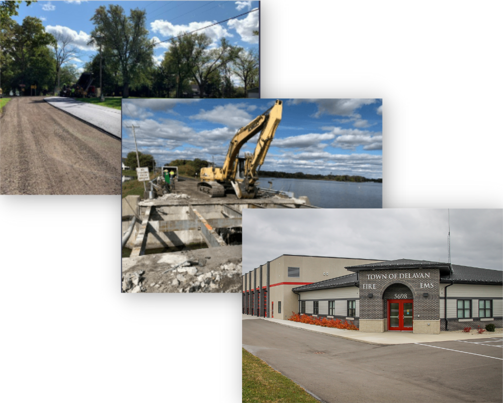
Discover Our Project Portfolio